See Your ProjectFrom Every Angle
Our Services
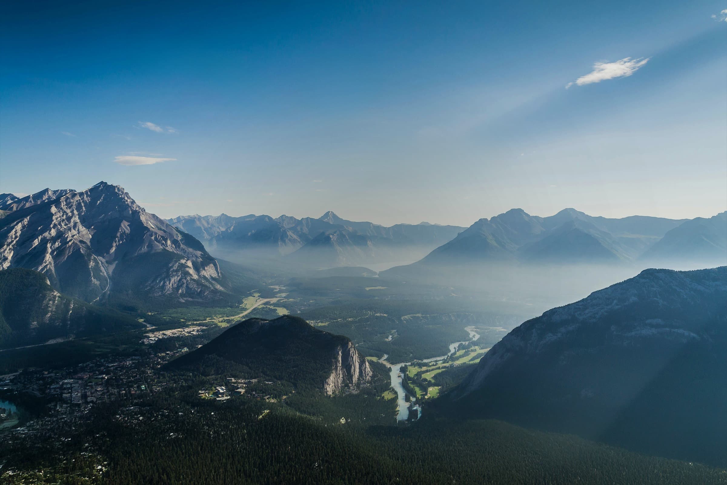
Aerial Photography, Videography & 3D Mapping Services
Regular aerial photos and videos of your construction site to track progress over time. Document each phase with high-quality aerial imagery and side-by-side comparisons.
Transform aerial photos into accurate, high-resolution 2D maps. Get detailed overhead views perfect for site planning, measurements, and presentations.
Create interactive 3D models from aerial photos. View your site from any angle, make measurements, and share impressive visualizations with clients.
How It Works
Simple, straightforward process from start to finish
Site Visit
We plan the flight path and capture aerial imagery
Aerial Capture
We capture high-quality photos and video from multiple angles
Processing
We process images into maps and 3D models
Delivery
We deliver professional deliverables and files to you
Click + drag to rotate • Scroll to zoom • Right-click to panTouch + drag to rotate • Pinch to zoom • Two fingers to pan
From Aerial Footage
To 3D Digital Twin
Using photogrammetry software, hundreds of aerial images are transformed into detailed, measurable 3D models of your site. Rotate, zoom, and explore your project like never before.
What We Deliver
Professional Equipment
Professional drone technology and processing workflows
Why Choose Aerial Services?
Advantages of drone-based documentation and mapping
Capture your entire site in a single visit, save time vs traditional methods
Weekly or monthly aerial documentation keeps your project on track
Professional-grade imagery and video for presentations and analysis
Document hard-to-reach or dangerous areas safely from above
Detailed visual records, maps, and models for clients and stakeholders
Ready to Transform
Your Construction Site?
Get started with a free consultation and site assessment
Get In Touch
Quick Response
We typically respond to inquiries within 4 business hours and can schedule site assessments within 48 hours.